Aeronautical technologies
SciAdv is active in the Aeronautical sector with both services and products for aircraft
Commercial valuations of airplanes and helicopters
SciAdv performs appraisals and commercial evaluations of aircraft and helicopters for banks and leasing companies as an independent expert. Sciadv evaluators are members of Professional Aircraft Appraisal Organization LLC (PAAO) as well as experienced Pilots and Aeronautical Engineers enrolled in the Order of Architects and Engineers of the Canton of Ticino.
Thanks to the Gemini proprietary computer system, Sciadv is able to process appraisals on the market value of airplanes and helicopters by applying the MCA method. Sciadv uses AOPA’s Aircraft Bluebook and V-REF system as a calculation reference as well as accessing the main public databases of aircraft for sale to obtain asking prices.
The evaluation form consists of the following chapters:
Introduction
CAP1A Characteristics of the aircraft
CAP1B Characteristics of the engines
CAP2A Inspection
CAP2B Inspection Maintenance, Insurance, Documents
CAP2C Inspection History of the aircraft
CAP3A Comparable Evaluation Method MCA Aircraft BlueBook
CAP3B Evaluation of restoration costs
CAP3C Comparable Valuation and Market Analysis
CAP3D Evaluation
ATTACHMENTS
GLOSSARY
Agps: Attitude determination system
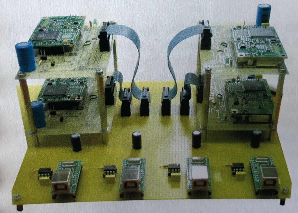
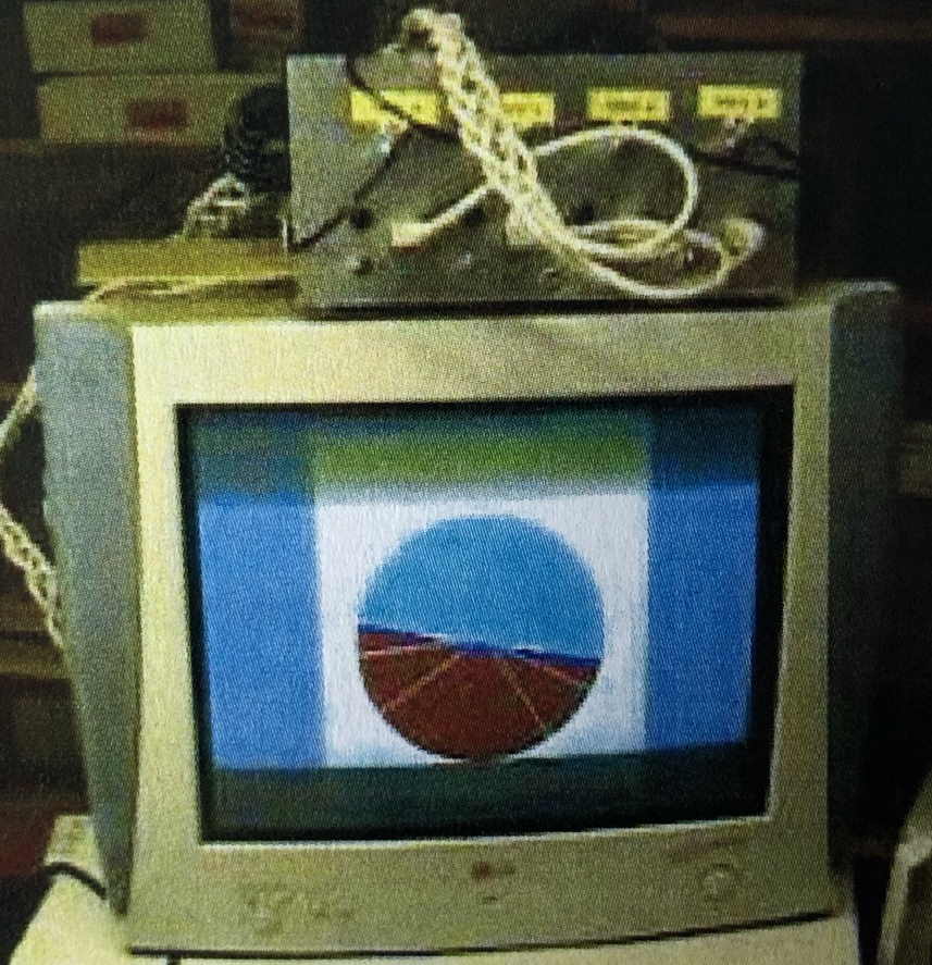
We developed the algorithm to determine the attitude of an aircraft based only on GPS signals. This ahars system, resulting from the patent of one of our collaborators, was then translated into a prototype.
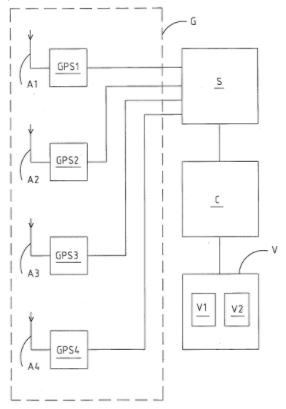
How does it work? GPS constellation signals are received by 4 antennas connected to as many commercial receivers (COTS). The information on the signal, which is seen simultaneously by the four antennas – receivers, is then processed in order to get the orientation angle of the same antennas, given the distance among them.
The software was developed in Matlab e Delphi (interface). See patent
Read Real Estate Advisory Drone
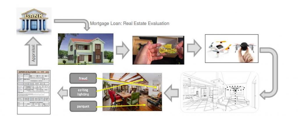
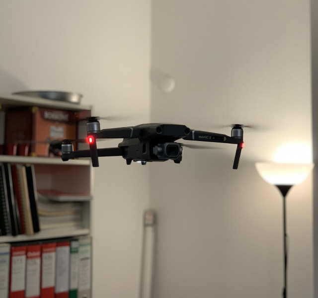
SciAdv proposes the development of the READ Real Estate Advisory Drone project, that is an innovative system which, thanks to the use of autonomously guided micro drones equipped with a high resolution camera and proximity sensors, creates extremely detailed maps of internal environments allowing images to be obtained and high-resolution videos that, re-elaborated by specific software, extrapolate useful data for the preparation of a real estate valuation, absolutely real, reliable and objective.
RE_ADV is a project in collaboration with QBT Sagl and Supsi
RE_ADV is granted by InnoSuisse
RE_ADV is patented